


Find Your Walk Companion
Tell us where you're at on your walking journey — we'll point you to the right route, planner, and keepsake.
Walking the West Highland Way?
You're not the only one.
Scotland's most popular long-distance trail brings walkers together from all over. See who's walking it at the same time as you.


The Drymen Inn, Drymen

The But n Ben, Croftamie

Bank Street Lodge, Fort William

Braeside House, Fort William
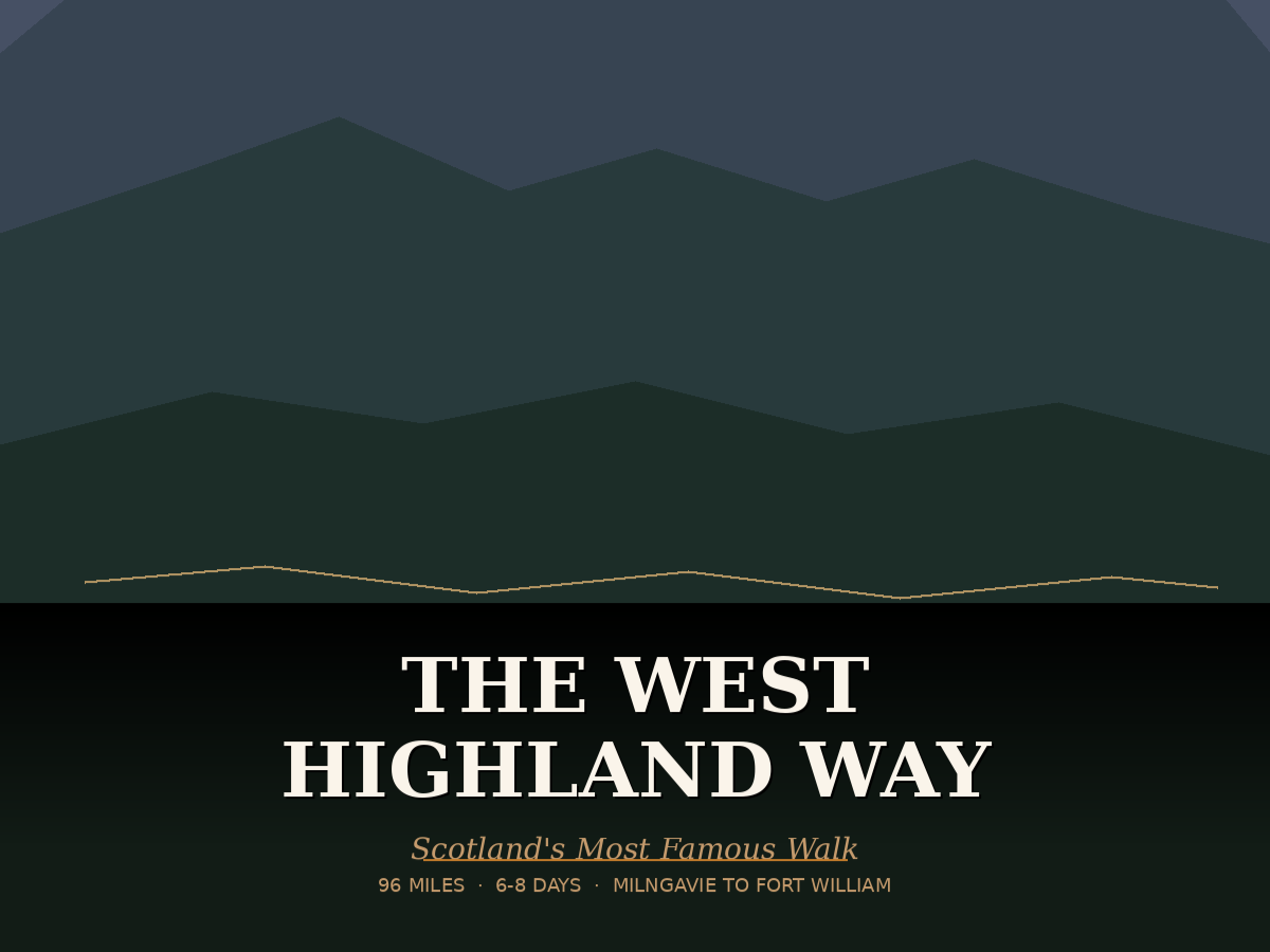
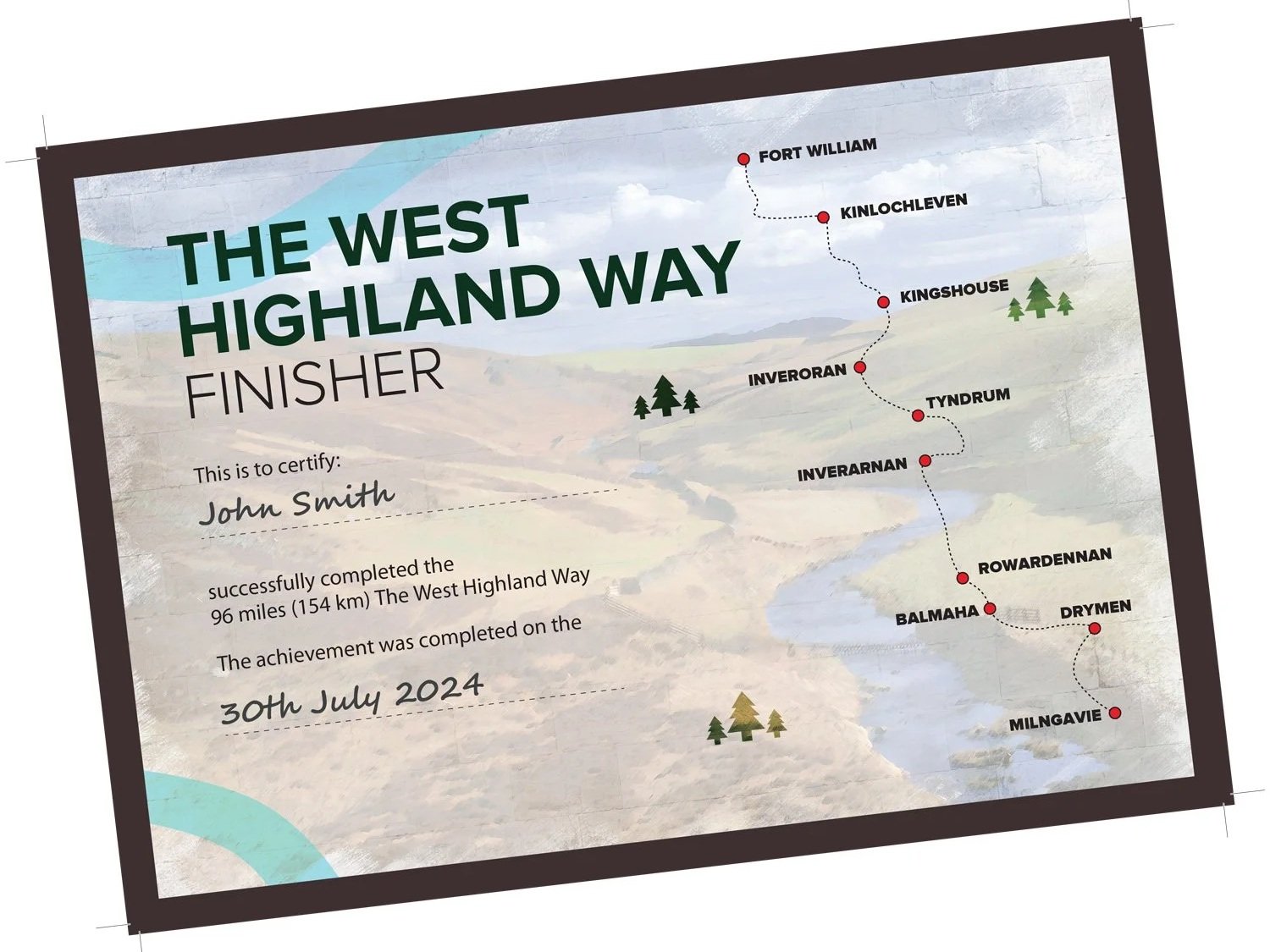
The West Highland Way: Embark on an epic 96-mile (154 km) journey through the heart of Scotland, from the charming town of Milngavie to the majestic Fort William. This iconic long-distance trail promises adventure, breathtaking vistas, and a deep connection with nature.
Before You Set Off
If you are planning to take on the West Highland Way, it’s worth making sure you’re properly prepared for the conditions ahead. The West Highland Way can bring everything from warm sunshine to sudden downpours, often in the same day. A comfortable pair of walking boots will help you handle the varied terrain, while a reliable waterproof jacket is essential for Scotland’s unpredictable weather. A well-fitted backpack will also make a big difference over longer distances, helping you carry everything you need with ease.
STAGE 1:
MILNGAVIE to DRYMEN
(19km/12m)

Stage 1: Milngavie to Drymen (19 km / 12 miles) Begin your odyssey at a granite obelisk in Milngavie’s town center. The path gently winds through Mugdock Country Park, where ancient trees whisper secrets and small rivers play hide-and-seek. As you traverse between the Campsie Fells and the serene Blane Water, the landscape unfolds like a well-worn map. Arriving in Drymen, a village perched on a ridge, you’ll find a picturesque square and a sense of anticipation.
ACCOMMODATION | CAMPING | SHOPS | FOOD & DRINK
STAGE 2:
DRYMEN TO Rowardennan
(22.5 KM/14 MILES)

Stage 2: Drymen to Rowardennan (22.5 km / 14 miles) Conic Hill looms ahead, a gateway between the Highlands and Lowlands. The ascent is steep, but the reward is a panoramic canvas: Loch Lomond sprawls below, its azure waters stretching into infinity. Descending into Balmaha, you’ll tread a path that dances between the loch’s edge and ancient woodlands. Beware—it’s deceptively challenging, with short, sharp climbs. Yet the forest’s embrace and glimpses of distant peaks make every step worthwhile. Rowardennan, your haven for the night, also beckons intrepid souls to climb Ben Lomond.
ACCOMMODATION | CAMPING | SHOPS | FOOD & DRINK
STAGE 3:
Rowardennan TO INVERARNAN
(22.5km/14m)

Stage 3: Rowardennan to Inverarnan (22.5 km / 14 miles) Undulating terrain tests your mettle today. Leaving Rowardennan, follow forestry roads that ascend above Loch Lomond. The vista unfolds—a patchwork of water, mountains, and the rugged Arrochar Alps. Inversnaid awaits, its narrow, rocky path leading to a breathtaking bridge and cascading waterfall. Here, wild goats roam, and birds of prey ride the wind. Rob Roy’s Cave whispers tales of old. The final leg, with its ups and downs, culminates at the renowned Drovers Inn in Inverarnan—a well-deserved respite.
ACCOMMODATION | CAMPING | SHOPS | FOOD & DRINK
STAGE 4:
INVERARNAN to TYNDRUM
(19.5km/12m)

Stage 4: Inverarnan to Tyndrum (19.5 km / 12 miles) As the landscape shifts, your legs find solace. Glen Falloch cradles you, glimpses of the Falls of Falloch teasing your senses. Ben More and Stob Binnean stand sentinel against the sky. Through quiet woodlands and across the valley floor, you journey toward Tyndrum. The ruins of St Fillan’s Priory whisper ancient prayers, and the river sings your arrival.
ACCOMMODATION | CAMPING | SHOPS | FOOD & DRINK
STAGE 5:
TYNDRUM to INVERORAN
(14.5km/9m)

Stage 5: Tyndrum to Inveroran (14.5 km / 9 miles)
As you continue along the West Highland Way, the rugged beauty of the Highland landscape unfolds before you. The old military roads underfoot lead you deeper into the heart of nature, allowing your legs to find their rhythm. Tyndrum fades behind you, and the imposing silhouette of Beinn Dorain beckons from the horizon—a sentinel watching over your journey.
Descending into the quaint hamlet of Bridge of Orchy, the railway station stands as a testament to both history and connectivity. Glen Orchy stretches out, its contours softened by time and weather. But it’s the ascent that steals your breath away: a steep climb that reveals panoramic vistas across Loch Tulla and the majestic Black Mount. Each step carries you closer to the mountains, and with every stride, you become part of this timeless Highland tale. 🏞️🚶♂️✨
ACCOMMODATION | CAMPING | SHOPS | FOOD & DRINK
STAGE 6:
INVERORAN to KINGSHOUSE
(16km/10m)

Stage 6: Inveroran to Kingshouse (16 km / 10 miles)
Welcome to the rugged beauty of the Scottish Highlands! 🏞️ This section of the walk takes you through remote terrain, where nature reigns supreme. Let’s dive into the details:
Inveroran to Loch Tulla: The trail winds around Loch Tulla, its waters reflecting the surrounding hills. Keep an eye out for wildlife—perhaps a red deer or a soaring golden eagle.
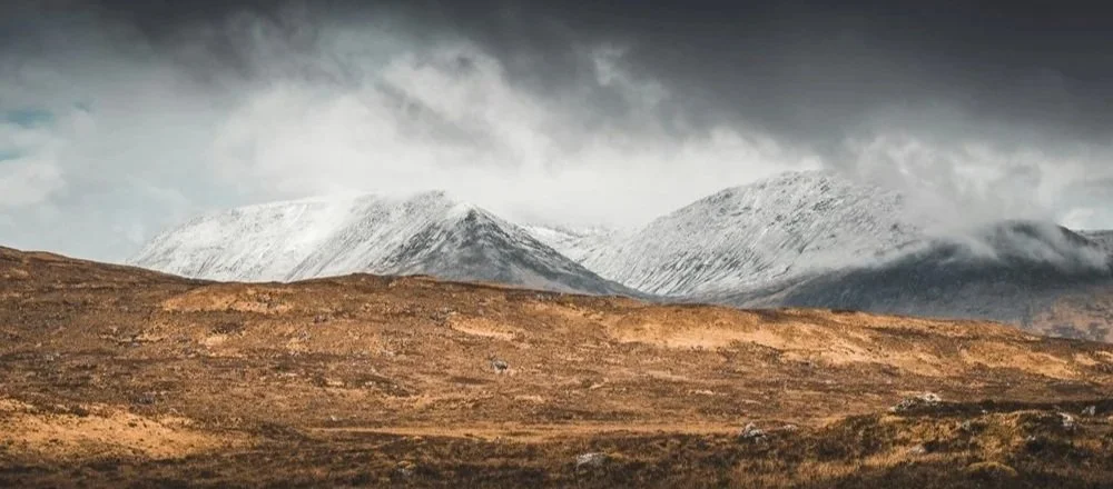
Rannoch Moor: As you ascend onto Rannoch Moor, you’ll feel the ancient whispers of the land. This vast expanse was once buried beneath an icecap during the last Ice Age. The moor stretches out, wild and untamed, with heather, bog cotton, and the occasional lonely tree dotting the landscape.
Ba Bridge: Pause at Ba Bridge, where the elements play their symphony. If the weather cooperates, you’ll be rewarded with sweeping views across the moor. Imagine the ghosts of travelers who crossed this bridge centuries ago.
Glencoe Ski Centre: The path leads past the Glencoe Ski Centre, a contrast of modernity against the timeless backdrop. In winter, skiers carve down the slopes; in summer, the slopes rest, waiting for snow.
Buachaille Etive Mor: Behold the majestic Buachaille Etive Mor—the “Great Herdsman of Etive.” Its pyramid-like peak stands sentinel over Glen Coe. Legends swirl around this Munro, and it has witnessed countless sunrises and storms. Remember James Bond’s daring escape in “Skyfall”? That was here.
So lace up your boots, breathe in the Highland air, and let the landscape tell its tales. 🌄🥾✨
ACCOMMODATION | CAMPING | SHOPS | FOOD & DRINK
STAGE 7:
KINGSHOUSE TO KINLOCHLEVEN
(14.5km/9m)

Stage 7: Kingshouse to Kinlochleven (14.5 km / 9 miles)
Embark on a captivating journey from Kingshouse as you trace the ancient military road toward Altnafeadh. Along the way, catch glimpses of The Buachaille, its rugged silhouette etched against the sky, and soak in the haunting beauty of Glen Coe—a place steeped in history, where the echoes of the Glencoe Massacre still resonate from centuries past.
But the adventure truly unfolds when you make a sharp right turn, ascending the zig-zag path known as the Devil’s Staircase. As you climb, the landscape transforms—the air thinning, the views expanding. At 550 meters, you’ll reach the pinnacle of the West Highland Way, marked by a weathered cairn. On clear days, the panorama stretches toward Ben Nevis, Scotland’s majestic peak, while behind you, Buachaille Etive Mor stands sentinel against the horizon.
From this lofty vantage point, begin your descent—a gradual retreat from the heights. Across moorland and through the very fabric of nature, you’ll find yourself drawn inexorably toward the charming town of Kinlochleven. Here, nestled amidst the rugged beauty of the Highlands, your journey takes on a new rhythm—one of quiet streets, friendly faces, and the promise of rest.
ACCOMMODATION | CAMPING | SHOPS | FOOD & DRINK
STAGE 8:
KINLOCHLEVEN to FORT WILLIAM
(24km/16m)

Stage 8: Kinlochleven to Fort William (24 km / 16 miles)
The eighth and final section of the West Highland Way takes you from Kinlochleven to Fort William, covering approximately 23.6 kilometers with an ascent of 615 meters. Here are some highlights of this scenic route:
Kinlochleven to Glen Nevis:
Begin with a steep climb out of Kinlochleven, rewarded by stunning views over Loch Leven.
Follow a narrow, easy track through a remote valley and pretty forest.
Glen Nevis lies ahead, with the majestic Ben Nevis (Britain’s highest mountain at 1,345 meters) dominating the landscape.
The forestry road passes the visitor center, offering a glimpse of the iconic peak1.
Dun Deardail Hill Fort:
Along the way, you’ll encounter the hill fort of Dun Deardail, built around 2,500 years ago.
Although destroyed in an intense fire, it once provided impressive views toward Ben Nevis.
For more information on its history and excavation, check out this booklet2.
Final Descent to Fort William:
The route continues toward Glen Nevis, and just before descending, you’ll pass Dun Deardail.
The final couple of miles lead you along the Glen Nevis road into Fort William.
Look for the official end of the West Highland Way on the main street in town.
What a remarkable achievement!!