


Find Your Walk Companion
Tell us where you're at on your walking journey — we'll point you to the right route, planner, and keepsake.
Walking the Rob Roy Way? You're not the only one.
A quieter route through the Trossachs, but rarely an empty one.


Callander Meadows Hotel, Callander

The Broch Cafe, Strathyre

Killin Hotel, Killin

Fern Cottage Restaurant, Pitlochry

Fern Cottage Restaurant, Pitlochry

The Rafting Company, Pitlochry
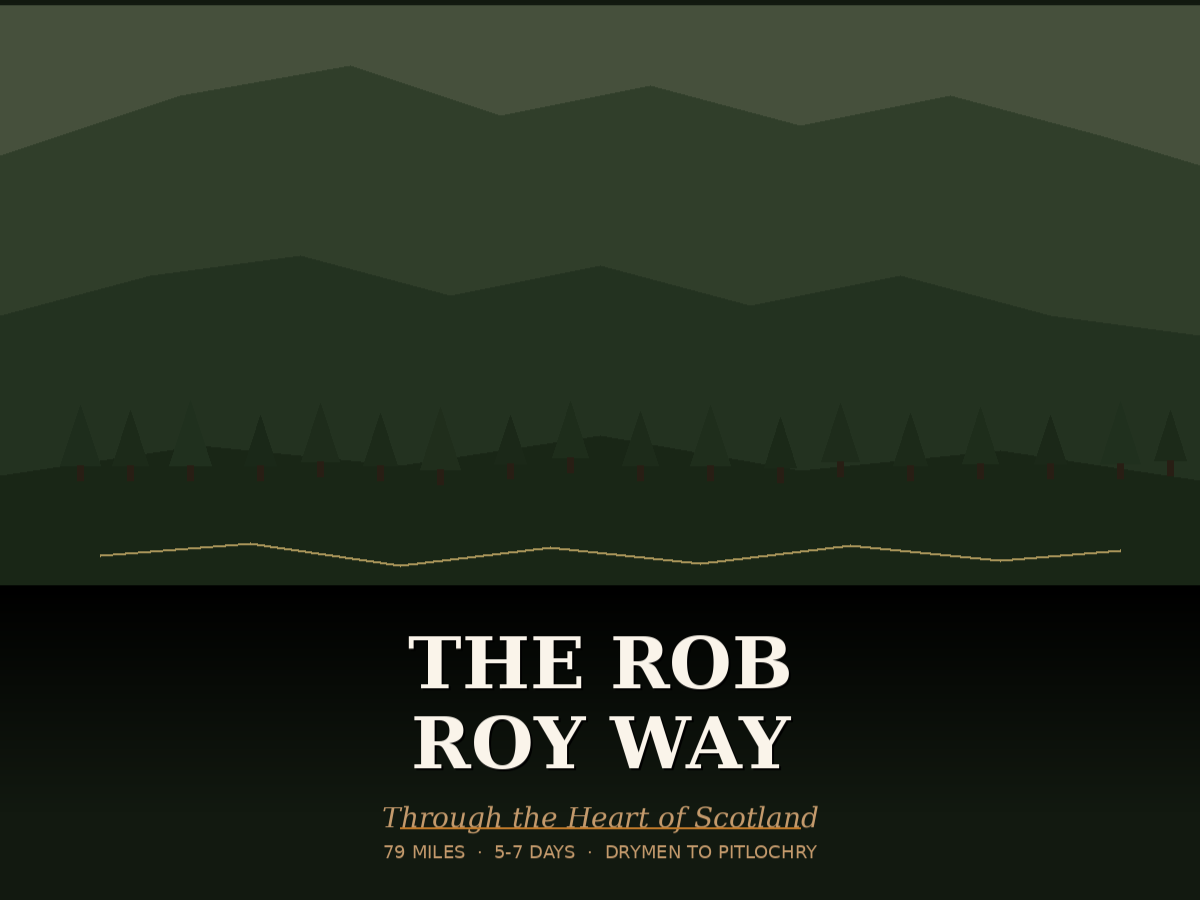
The Rob Roy Way is a long distance footpath that crosses the Southern Highlands of Scotland, from Drymen to Pitlochry. The path, which is around 124km long, was created in 2002. It crosses the Highland Boundary Fault, a geological fault where the Highlands meet the Lowlands, and travels through beautiful Scottish countryside.
The trail takes its name from the legendary Rob Roy MacGregor, a figure steeped in Scottish folklore. Rob Roy was a charismatic outlaw, cattle drover, and folk hero during the early 18th century. His exploits, both daring and romantic, have left an indelible mark on the region. As you walk, imagine the echoes of his footsteps and the secrets whispered by the ancient trees.
Taking around seven days to complete, the walk starts in Drymen on the West Highland Way and travels in a north easterly direction to finish in Pitlochry. There is a variant to the route at stage 6 via Amulree, which increases the total walk distance to 151km/94 miles.
Before You Set Off
The Rob Roy Way takes you through quieter, more remote landscapes, where being well prepared makes all the difference. A sturdy pair of walking boots will help you navigate uneven ground and rural paths, while a good waterproof jacket is essential for changing weather conditions. A comfortable backpack will allow you to carry your essentials easily as you move between villages and countryside.
STAGE 1:
Drymen to Aberfoyle
(17.5km/11m)

The Rob Roy Way starts in Drymen (meaning ‘on the ridge’) which has a couple of pubs and a pretty village square. The West Highland Way also passes through Drymen, so it’s popular with walkers.
The first stage is relatively gentle – it initially follows a minor road with views to the Campsie Fells and the peak of Ben Lomond, then joins forestry tracks which follow the line of a Victorian aqueduct. When opened the aqueduct helped to improve public health in Glasgow, as well as providing hydraulic power to heavy industry in the city such as shipbuilding.
Towards the end of the first stage you’ll cross an attractive stone bridge over the River Forth to reach Aberfoyle, a bustling town with a tourist information centre and plenty of facilities.
ACCOMMODATION | CAMPING | SHOPS | FOOD & DRINK
STAGE 2:
Aberfoyle to Callander
(15km/9.5m)
The second stage starts outside the Scottish Wool Centre in Aberfoyle, soon reaching a forestry track. Once again you’ll enjoy views of the Campsie Fells, a range of volcanic hills to the north of Glasgow, with Ben Lomond behind you. The route then gently climbs through the plantations of the Trossachs forest.
As you leave the forests and start to descend, there are more great views, this time across Loch Venachar and across to Ben Ledi, the highest mountain in the main part of the Trossachs.
On reaching the loch shores you will climb steadily through another forested section before descending into the centre of Callander, which is often referred to as the Gateway to the Highlands.
ACCOMMODATION | CAMPING | SHOPS | FOOD & DRINK
STAGE 3:
Callander to Strathyre
(15km/9.5m)

Today’s section of the route follows a good cycle path which takes you all the way to Strathyre. Leaving Callander, you’ll head towards the river and join the cycle path, with views of Ben Ledi ahead. After a mile or so you can take a detour to visit the Falls of Leny, following small paths through the trees to view the falls, but take great care near the steep edges.
You can enjoy a break at the (seasonal) café at the Strathyre Forest Cabins, and later on in the walk you’ll enjoy views over Loch Lubnaig. This is a relatively straightforward day, so save your legs for a longer hike tomorrow!
ACCOMMODATION | CAMPING | SHOPS | FOOD & DRINK
STAGE 4:
Strathyre to Killin
(21.5km/13.5m)

Initially joining a forest track as you leave Strathyre, the route climbs and descends before reaching the cycle path again. You’ll pass over an old viaduct, and if you wish you can make a detour to the facilities at Lochearnhead. The route then climbs steeply in a series of sharp zig-zags, reaching the old railway line high above Lochearnhead with good views over Loch Earn.
The next section is known as the Glen Ogle Trail and is popular with cyclists, so keep a look out! You’ll pass over the Glen Ogle Viaduct, and further on you can see the Tarmachan Ridge ahead. The route descends through forests to the Falls of Dochart, and the village of Killin is accessed by crossing the bridge.
ACCOMMODATION | CAMPING | SHOPS | FOOD & DRINK
STAGE 5:
Killin to Ardtalnaig
(19km/12m)

Today’s section of the Rob Roy Way heads across moorland, which is beautiful when the heather is in bloom but can be exposed in poor weather.
There’s a steep climb after you leave Killin, with rewarding views through breaks in the forest over the head of Loch Tay. The route gets easier once through the forestry, then you climb again to reach the dam at Loch Breaclaich, part of a hydroelectric scheme. The road follows the loch before opening up to an unsurfaced track across the expanse of moorland ahead. It climbs and then descends, with views of Loch Tay.
The next section, between two forestry areas, can be wet and boggy underfoot. You’ll cross a ford using stepping stones just outside Ardeonaig (there’s a route around if it’s flooded), then the final part of today’s walk becomes easier to Ardtalnaig, with some great views.
ACCOMMODATION | CAMPING | SHOPS | FOOD & DRINK
STAGE 6:
Ardtalnaig to Aberfeldy
(24km/15m)

The longest section of the walk today, but you’re rewarded with excellent waterfall views along the route.
Following a minor road for the first 7.5km, you then climb rapidly with views back over Loch Tay. Take the path to the Hermit’s Cave, which was constructed in the 1760s for visitors to the Falls of Acharn (including Robert Burns and William Wordsworth) and leads out to a balcony overlooking the 20 metre falls.
Rejoining the track, you cross a hillside with views back to Ben Lawers. Eventually you’ll spot Taymouth Castle below, which sits in a 450-acre estate. The next section alternates between forest and open areas, then you’ll enjoy a super view of the Falls of Moness as you cross the river bridge. There’s a second opportunity to see the falls as you follow a scenic descent through a wooded gorge to Aberfeldy.
ACCOMMODATION | CAMPING | SHOPS | FOOD & DRINK
STAGE 6A:
ARDTALNAIG TO Amulree
(26.5KM/16.5M)

If you choose to walk the longer version of the Rob Roy Way, follow this section and the next before rejoining at Aberfeldy. It follows remote moorland tracks, so your navigation skills will need to be up to scratch!
From Ardtalnaig, climb the single track road out of the village towards Claggan and head for the open hills. You’ll cross Gleann a' Chilleine and the Allt a' Chilleine over a stream and a ford, then climb to views of drumlins, which are mounds of debris left by retreating glaciers. You’ll reach a cottage at Dunan, which is now used as a shooting bothy.
Follow the north side of the River Almond – the path becomes clearer further along as you reach a small dam. Soon you pass a First World War memorial cairn, then the route passes through several gates to ascend Glen Shervie.
Dropping to a bridge, follow the path through Glen Lochan and then traverse across some boggy ground before meeting a track at the Lochan a' Mhuilinn. The track descends to eventually join a road into the small settlement of Amulree, which features an impressive church.
ACCOMMODATION | CAMPING | SHOPS | FOOD & DRINK
STAGE 6b:
Amulree TO ABERFELDY
(25KM/15.5M)

Leaving Amulree at the north end of the village, follow the road along the north bank of the River Braan. You’ll enjoy great views of Glen Lochan which you passed through on the previous section. Crossing the River Quaich, follow a road to a track and then rejoin the road above the bridge at Garrow. The road climbs up, with views back over Loch Freuchie and mountains ahead across the moorland.
Descending past the Urlar Burn, skirt around the farm buildings at Urlar and continue down to the Falls of Moness. Follow the path through the wooded gorge into the Birks of Aberfeldy, which are known for their wildlife and inspired poetry by Robert Burns in 1787.
The route descends to the road, finishing on Main Street in Aberfeldy, a bustling town with many attractions and facilities.
ACCOMMODATION | CAMPING | SHOPS | FOOD & DRINK
STAGE 7:
Aberfeldy to Pitlochry
(15km/9.5m)

As you leave Aberfeldy for your last day of walking, you might want to call at the Dewar’s World of Whisky distillery on the outskirts of the town. The route then follows the river before joining an old railway line, which is also popular with cyclists.
Reaching the edge of Grandtully you’ll cross a bridge over the river Tay, where slalom canoeing often takes place. The road turns onto a track and past a golf course, climbing up to eventual views back across Strath Tay.
After the final descent on a long track, you’ll need to cross the A9 – do take care as it’s a fast and busy road. Walk over the suspension bridge and head into the centre of Pitlochry, where the official end of the walk can be found at a small memorial garden.